
A closer look
From shore, Lake Beyşehir’s islands can look like similar dark shapes against the water. Written accounts reveal a more varied landscape. Some describe settlement and livelihood, others coves, caves or surviving buildings. Each island has a character shaped by its own history and terrain, rather than simply a place in a boat-tour checklist.
The municipal guide identifies Mada with an inhabited island landscape. Research on the lake’s history adds changes over time to that description. It does not follow that residents form a timeless, isolated community. Connections with the mainland and changes in livelihood deserve investigation instead of being replaced by a romantic image of an unchanging fishing village.
Details and connections
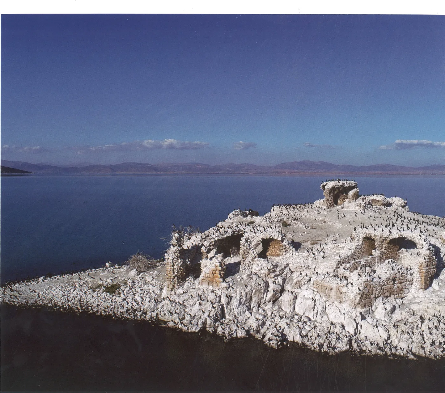
Kız Kalesi raises different questions because building remains are central to its description. A distant view, a publication image and an archaeological account provide different evidence. Ruins establish the presence of structures; appearance alone cannot identify every occupant or prove a colourful story about royal life. Likewise, a cave or cove described on one island should not be borrowed to illustrate another.
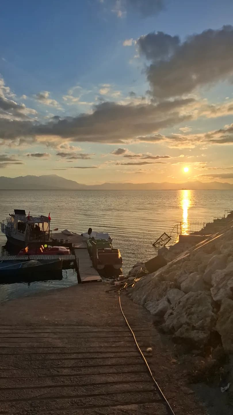
The illustrations distinguish island remains from a general lake panorama, which provides context without documenting every island. Check boat availability, landing arrangements, permissions and weather for the specific outing. The map offers a geographical overview rather than a sailing track. Time spent looking from shore is valuable too: an island’s relationship with the mainland belongs to its story even when landing is not possible.
Reading the wider setting
Begin with an island's outline in relation to the mainland. A narrow strip of visible water, a distant ridge or a sheltered-looking bay changes how the landform is perceived. Make a simple sketch before looking for buildings. It can help distinguish the island's overall shape from a foreground shore that overlaps it in a photograph.
The name of a place is another useful anchor. Keep the name used by your source or local host alongside any alternative spelling. A description of a cave, a settlement or a ruin becomes much more useful when the exact island remains clear. Avoid collecting attractive details into a single imaginary island.
Continue your visit
An inhabited island should be approached as a community as well as a destination. When a visit is possible, ask where visitors may walk and photograph, and allow everyday work to continue around you. A landing point does not make gardens, homes or working spaces public attractions.
Follow the lake story back towards the shore after reading about the islands. Palace tiles introduces another relationship between buildings and water at Kubad-Abad, while Yeşildağ's storks and horses draws attention to seasonal life around the margins. Together these accounts make the lake a network of different places rather than a list of interchangeable stops.