BEYŞEHİR · 3D
Beyşehir, from above. And on foot.
Follow the real shoreline, rise above the Anamas mountains, then step into the streets of the old town.
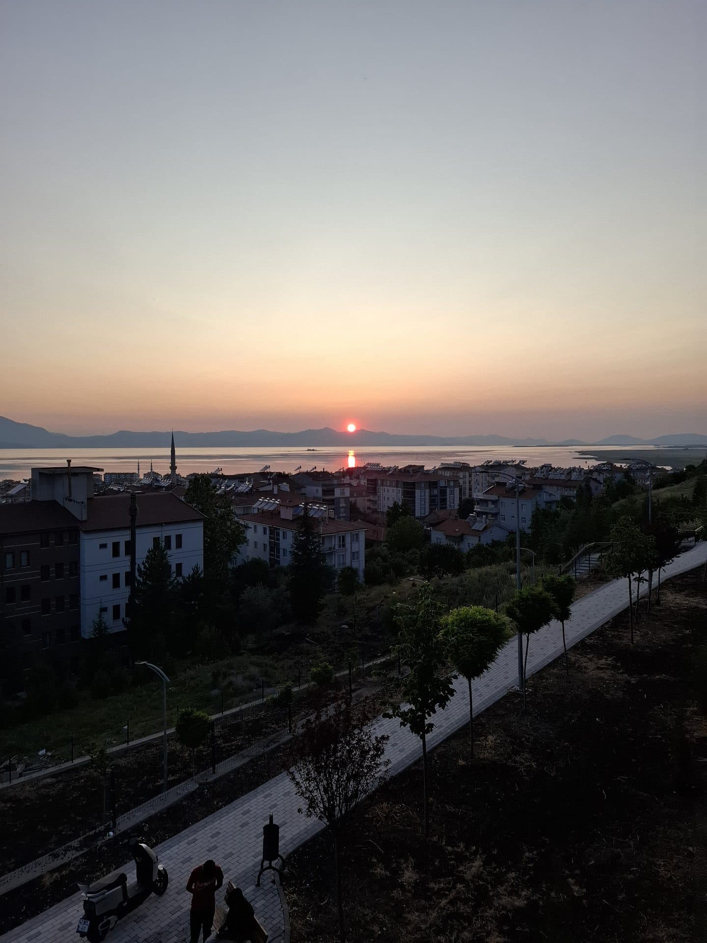
Lake & mountains37.6835° N / 31.7186° E
Map layers load only when you open the map. An internet connection is required.
Map data & photography
Street layout: OpenStreetMap. Building footprints: Microsoft. Terrain: 30 m elevation data. Building details and water levels are illustrative. Follow local signs when visiting on foot.
Regional satellite imagery: EOX Sentinel-2 cloudless 2016 (CC BY 4.0).
- © OpenStreetMap contributors · ODbL · OpenFreeMap · OpenMapTiles
- © Mapterhorn · Copernicus & elevation contributors
- EOX · Contains modified Copernicus Sentinel data 2016 · CC BY 4.0
- Microsoft Global ML Building Footprints · CDLA Permissive 2.0 · GeoJSON · Provenance
- DEM · 30 m · Mapterhorn / Copernicus
- Taşköprü · OpenStreetMap · GeoJSON
- 3D · geometry & architectural references
- GeoJSON · provenance · GeoJSON · ODbL
Look closer at the landmarks
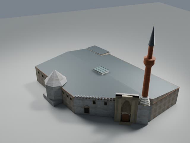
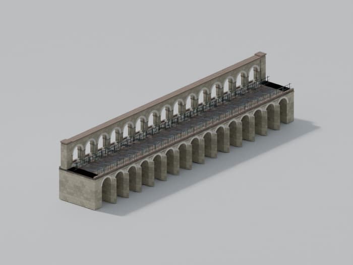
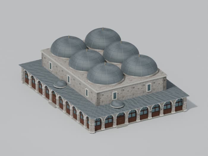
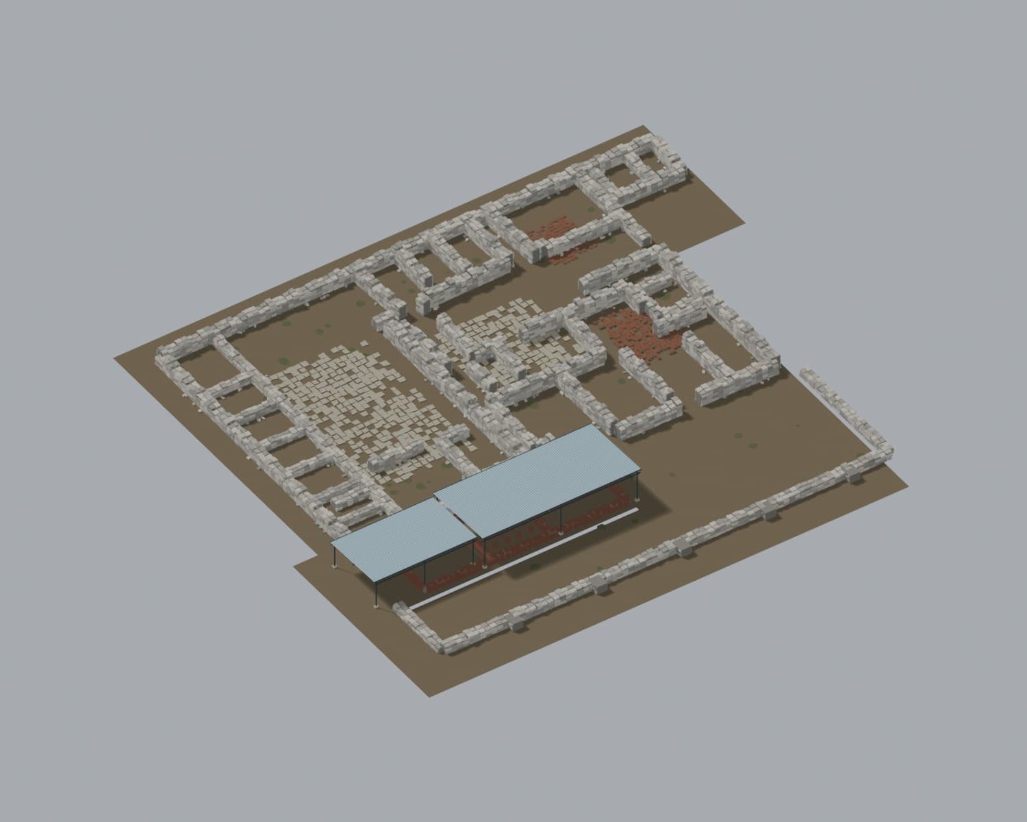
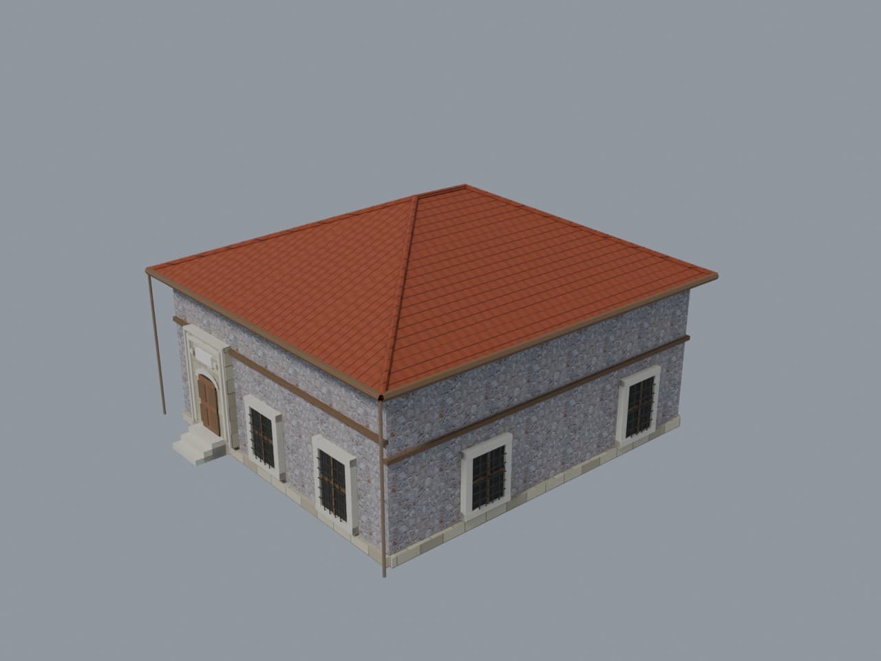
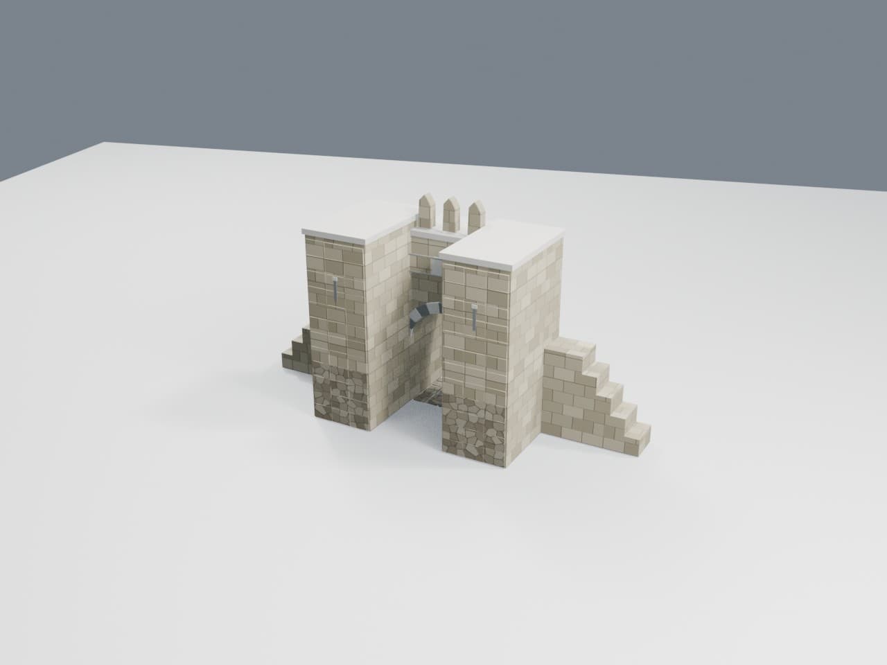
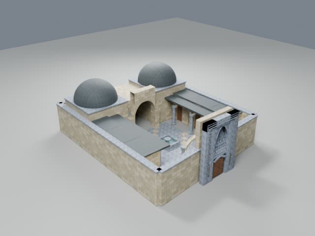
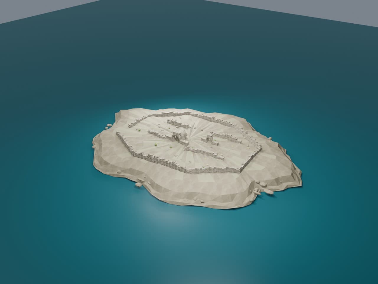
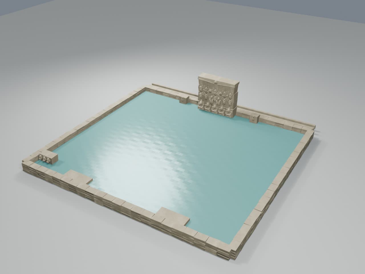
Explore carved portals, courtyards, bridges, palace ruins, an island fortress and a Hittite spring sanctuary in three dimensions.