
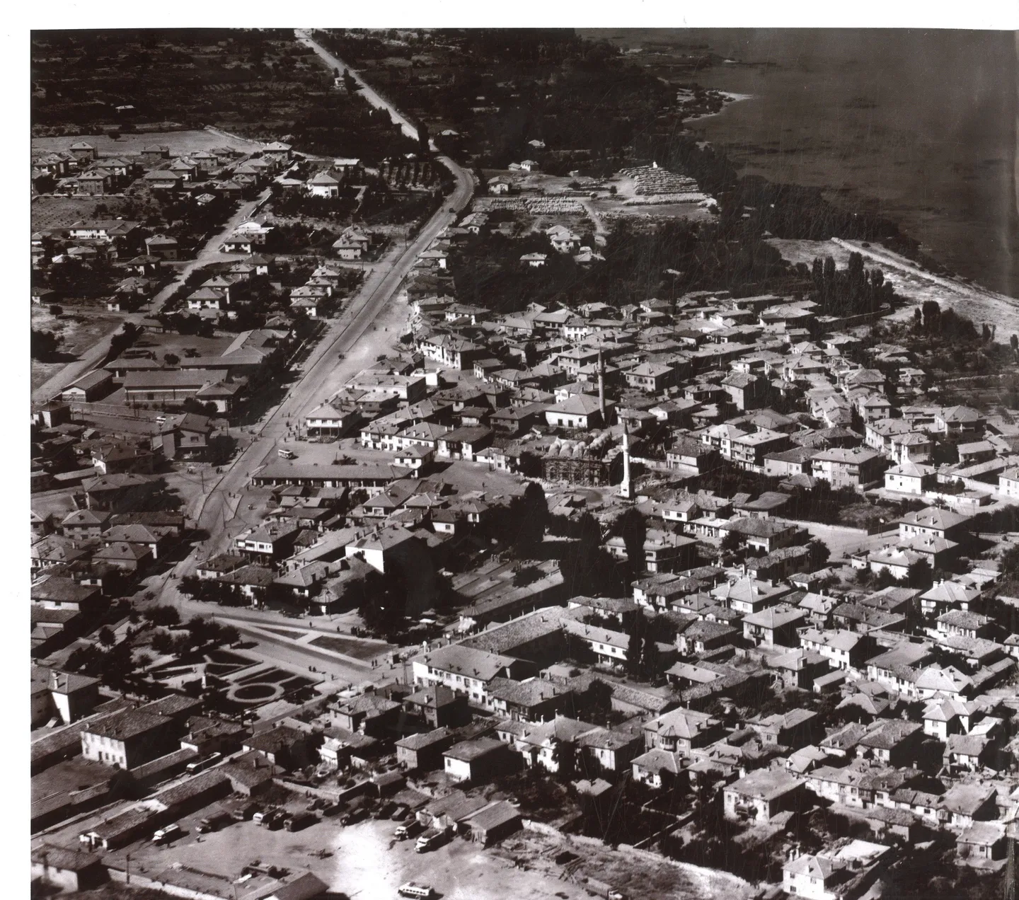
A neighbourhood shaped by migration
Beyşehir’s history extends beyond its medieval monuments. Hamidiye carries the memory of families who arrived from the North Caucasus in the early twentieth century and established new lives beside an existing Ottoman town. Their story joins the familiar lake and stone bridge to less conspicuous evidence: house-building correspondence, agricultural allocations, family recollections and inscriptions in two neighbourhood cemeteries. Together these sources reveal a settlement process that took years, rather than a single arrival followed by effortless integration.
Historian Hüseyin Muşmal and art historian Mustafa Çetinaslan use the name Chechen–Ingush for the community they studied. Ottoman documents often say “Caucasian migrants” or “Chechen migrants”; descendants interviewed for the study described both Chechen and Ingush ancestry. These terms are not interchangeable with every other North Caucasian identity. In particular, the familiar umbrella label Circassian should not erase the specific communities recorded here. Nor were these families the Don Cossacks associated with Mada Island.
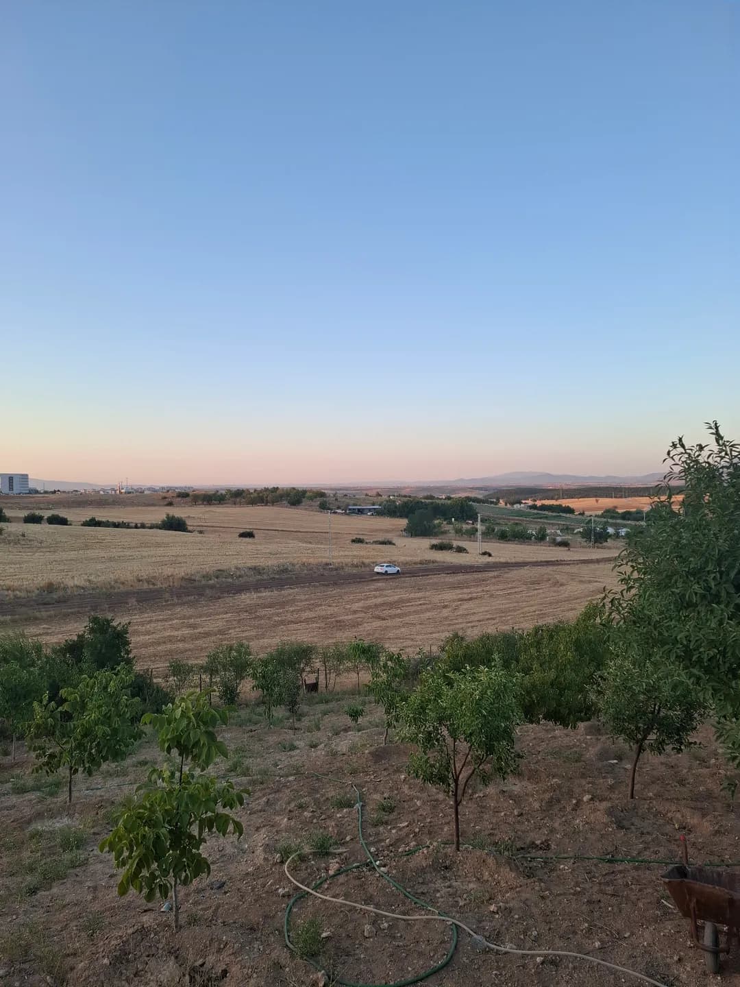
From Grozny to Hamidiye
The study traces a group of 120 households that left Grozny in 1901 and reached Istanbul. The party divided: one group went towards Uzunyayla, while around 60 households continued to Konya province and Beyşehir. This documented journey gives the local story its clearest starting point. The much broader history of nineteenth-century Caucasian displacement forms its background, but a description that dates this particular Beyşehir settlement directly to 1864 misses the evidence for the later arrival.
Initial accommodation was close to the watercourse. Correspondence and oral accounts describe difficulties around the low-lying settlement, including malaria, before families established themselves on higher ground at Üçler Tepesi, roughly 500 metres from the channel. The new neighbourhood took the name Hamidiye, referring to Sultan Abdülhamid II. House construction, land arrangements and health problems appear in documents from different years in the early 1900s; “settlement” therefore describes a sequence of decisions rather than one perfectly documented moving day.
Making a home over several generations
Building a home required more than allocating a plot. The archival material discusses state-funded houses, the acquisition of more than 450 dönüms of agricultural land, and assistance with draught animals and farming implements. These practical details show how housing and livelihood were connected. They also make the newcomers visible as households negotiating unfamiliar conditions, not simply as an anonymous population added to a census or an idealised picture of an instantly prosperous new community.
Migration continued after the first settlement. In 1934, ten households comprising forty people came to Beyşehir from Burhaniye in the Ereğli district, according to the same research. They were the remaining members of a community previously settled there. This later movement matters: families could relocate within Anatolia after an initial Ottoman allocation, and the history of Hamidiye developed across generations. A single arrow from the Caucasus to the lake cannot represent all those journeys.
What the gravestones preserve
The researchers recorded 38 grave monuments: 33 in the Lower Cemetery and five in the Upper Cemetery. The stones provide individual names and dates alongside the larger administrative account. Of the 36 examples with readable death dates, fourteen fall between 1903 and 1906. The dated group runs from the first years of the new settlement into 1930. This is a surviving sample, not a complete demographic register, and it cannot establish the cause of every death.
The inscriptions are in Ottoman Turkish using Arabic script, carved into local tuff. Some lettering is raised and some incised; the generally restrained decoration directs attention to the written surface. References to the Caucasus and to places of origin preserve connections across distance. The authors discuss material resources and local workmanship when interpreting these monuments. It would be misleading to turn every shape or ornament into a timeless ethnic signature shared by all Chechen or Ingush families.
Different communities around one lake
The stones and the housing records answer different questions. An official letter can reveal the cost of settlement or a request for help; a grave inscription records a named person within a family’s commemorative world. Oral history adds memories that official paperwork may omit. Reading the evidence together produces a richer account of work, illness, belonging and remembrance, while keeping the distinction between a dated document and a later recollection visible.
There is also a connection with Mada Island, but it needs careful naming. Research on the island records a later Chechen presence after its nineteenth-century Don Cossack settlement and before subsequent Yörük settlement. These were distinct communities whose histories intersected in the same landscape. The article Mada Island: Cossacks, Migration and Lake Life follows that sequence and explains why the Turkish island name Kazak refers here to Cossacks, rather than to Kazakh people or to Chechens.
Reading a living neighbourhood
Hamidiye adds another layer to the town described in Water and City: Beyşehir’s Waterfront History. The older nucleus around Eşrefoğlu Mosque and the neighbourhoods along the outlet developed in different periods; the migrant neighbourhood belongs to the town’s more recent expansion. Looking at them together changes the scale of a visit. Beyşehir becomes a place repeatedly made and remade by residents, housing needs, employment and water, as well as a collection of celebrated monuments.
This remains a history of families and lived neighbourhoods. If visiting a cemetery, follow local access arrangements, keep paths and graves undisturbed, and ask before photographing people. The published survey is a useful starting point for reading inscriptions, not an invitation to clean, rub or move stones. Continue with the lake and waterfront articles to place Hamidiye within the wider landscape, while recognising that the study’s interviews describe the community at the time of research rather than a present-day census.