
Reference overview
İlçemizin Tarihçesi
Beyşehir Kaymakamlığı · Beyşehir Kaymakamlığı
Read the place guides and stories that draw on this source.
Read with your device’s voice.
From Erbaba to Eşrefoğlu
From Neolithic settlement to Hittite monuments and the medieval town.
The Beyşehir basin’s history begins long before its standing medieval monuments. Erbaba Höyük belongs to the region’s prehistoric settlement story. Considering it alongside mosque, bridge and lakeside town changes the timescale of a visit: people lived in this landscape long before the buildings that now dominate an architectural tour.
A höyük is a mound formed through accumulated occupation and rebuilding, not a single intact building. Archaeological interpretation draws on excavation contexts and the relationship between layers. A visitor looking at a rise in the landscape cannot reproduce that investigation simply by imagining houses upon it.
The district history identifies Erbaba among early settlements. Detailed claims about individual houses or entry from rooftops require excavation publications. Similarity to another Anatolian site is a question to investigate, not permission to import a familiar reconstruction from Çatalhöyük. The same applies to the surroundings: modern fields and shoreline are not a frozen image of the prehistoric environment.
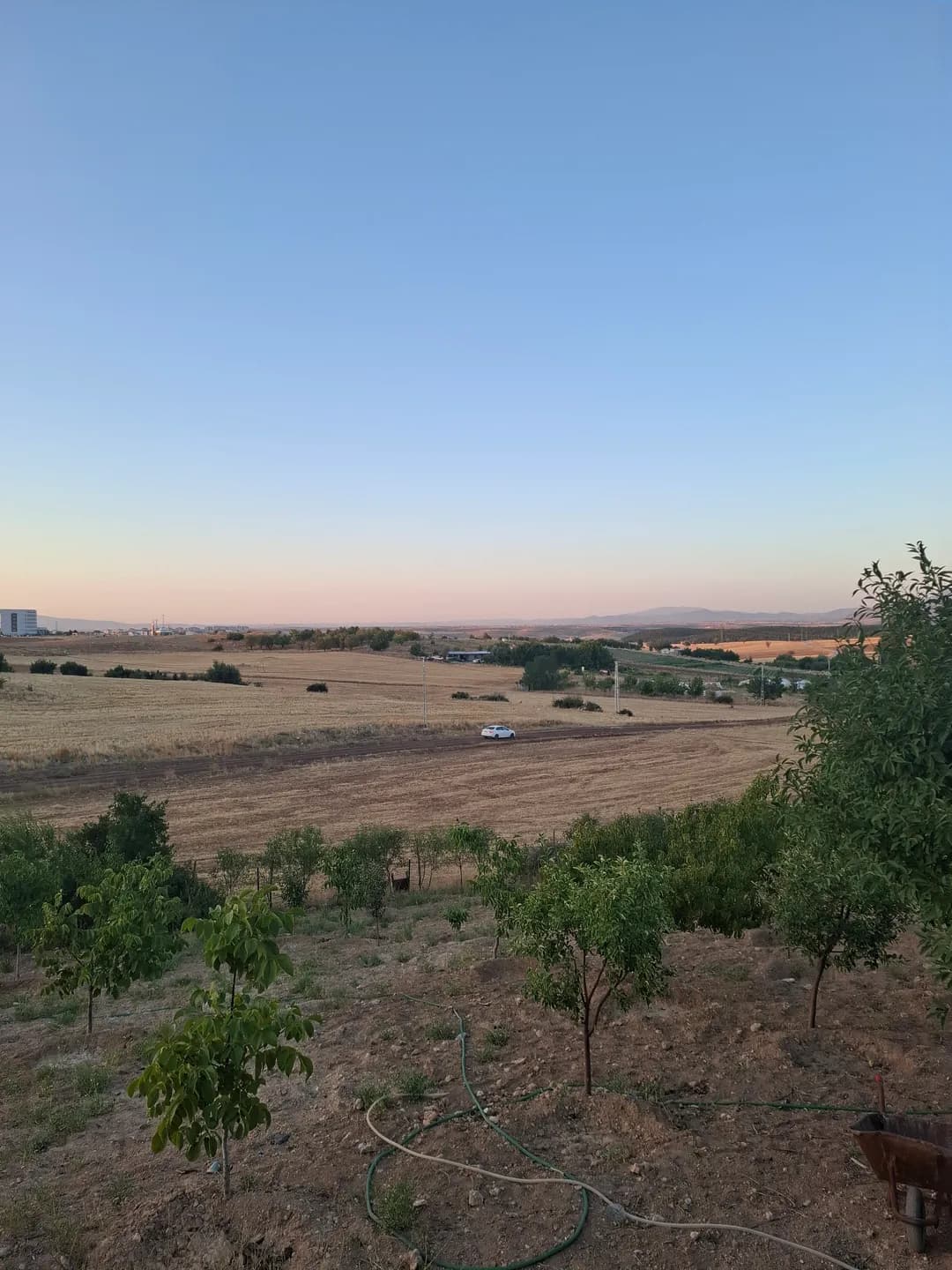
Use Erbaba as a reason to read the basin across several periods. The regional photograph provides context, not a reconstruction or an image of the excavation itself. Establish access separately, avoid walking on protected remains and never collect material. Distinguishing excavated evidence from a suggested interpretation allows the earliest chapter of the region’s story to retain its own questions, rather than becoming a decorative preface to the medieval town.
Reading a mound requires a different pace from visiting a standing monument. There may be no complete facade to photograph and no single room to enter. The interest lies in how archaeological investigation turns relationships between deposits, objects and construction traces into an account of repeated occupation.
Think about the difference between the landscape you can see and a past environment reconstructed through research. A modern shoreline, field boundary or road is a present reference point. It helps locate a visit, but does not automatically explain how the same ground was used in prehistory.
Place Erbaba on a timeline with the Hittite monuments and Eşrefoğlu Mosque. The spaces between those chapters matter as much as the labels. They prevent the region's history from appearing as a smooth procession of buildings and remind you that many forms of life leave less immediately visible remains.
Heritage layers provides that longer view, while Lake life returns to the basin's changing edges. Use them to plan a reading journey even if a site visit is not possible. The value of the prehistoric chapter lies in changing the questions you ask about the region, not simply adding another pin.
Check current access and visiting arrangements locally.
Erbaba Höyük & Neolithic Stone Architecture
Contiguous stone-founded Neolithic houses uncovered through the excavations of Jacques and Louise Bordaz.
The Beyşehir basin’s history begins long before its standing medieval monuments. Erbaba Höyük belongs to the region’s prehistoric settlement story. Considering it alongside mosque, bridge and lakeside town changes the timescale of a visit: people lived in this landscape long before the buildings that now dominate an architectural tour.
A höyük is a mound formed through accumulated occupation and rebuilding, not a single intact building. Archaeological interpretation draws on excavation contexts and the relationship between layers. A visitor looking at a rise in the landscape cannot reproduce that investigation simply by imagining houses upon it.
The district history identifies Erbaba among early settlements. Detailed claims about individual houses or entry from rooftops require excavation publications. Similarity to another Anatolian site is a question to investigate, not permission to import a familiar reconstruction from Çatalhöyük. The same applies to the surroundings: modern fields and shoreline are not a frozen image of the prehistoric environment.
Use Erbaba as a reason to read the basin across several periods. The regional photograph provides context, not a reconstruction or an image of the excavation itself. Establish access separately, avoid walking on protected remains and never collect material. Distinguishing excavated evidence from a suggested interpretation allows the earliest chapter of the region’s story to retain its own questions, rather than becoming a decorative preface to the medieval town.
Reading a mound requires a different pace from visiting a standing monument. There may be no complete facade to photograph and no single room to enter. The interest lies in how archaeological investigation turns relationships between deposits, objects and construction traces into an account of repeated occupation.
Think about the difference between the landscape you can see and a past environment reconstructed through research. A modern shoreline, field boundary or road is a present reference point. It helps locate a visit, but does not automatically explain how the same ground was used in prehistory.
Place Erbaba on a timeline with the Hittite monuments and Eşrefoğlu Mosque. The spaces between those chapters matter as much as the labels. They prevent the region's history from appearing as a smooth procession of buildings and remind you that many forms of life leave less immediately visible remains.
Heritage layers provides that longer view, while Lake life returns to the basin's changing edges. Use them to plan a reading journey even if a site visit is not possible. The value of the prehistoric chapter lies in changing the questions you ask about the region, not simply adding another pin.
Related places