
Kubadabad Palace
Kubadabad Palace
An interactive Blender model informed by photographs and published architectural references.
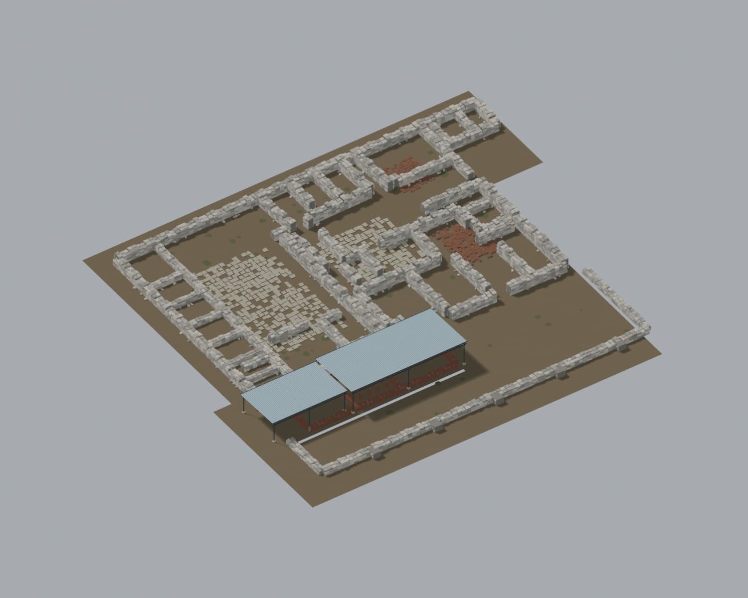
Drag in any direction to rotate. Scroll or pinch to zoom. Right-drag or Shift-drag to move the focus; use two fingers on touch screens. Tap a surface to focus on it. Scroll the page outside the model. Keyboard: arrow keys rotate; Page Up and Page Down zoom.
Documented dimensions and architectural layout guide the models; unmeasured heights, surfaces and details are interpreted. Kubadabad depicts the surviving palace ruins. These are not photogrammetric surveys.
Model sources
Kubadabad follows the published Great Palace plan, with approximate wall heights and surfaces.
- Great Palace — excavation authority
- Excavation architecture and aerial overview
- Excavation authority — aerial photograph
- Korumaz and Yildiz (2021) — archaeological orthophoto study
- Great Palace published plan — Wikimedia figure
- Beysehir scholarly volume — Kubadabad chapter
- TDV encyclopedia — Kubadabad dimensions and fabric
- Esri World Imagery — geographic visual reference
CC-BY-SA-4.0 · Original interpretive 3D geometry and textures for Beysehir Tourism. Plan reference: Saadet Armagan Gulec Korumaz and Ferruh Yildiz (2021), DOI 10.3390/heritage4030071; adapted to simplified ruin geometry. No endorsement implied.