
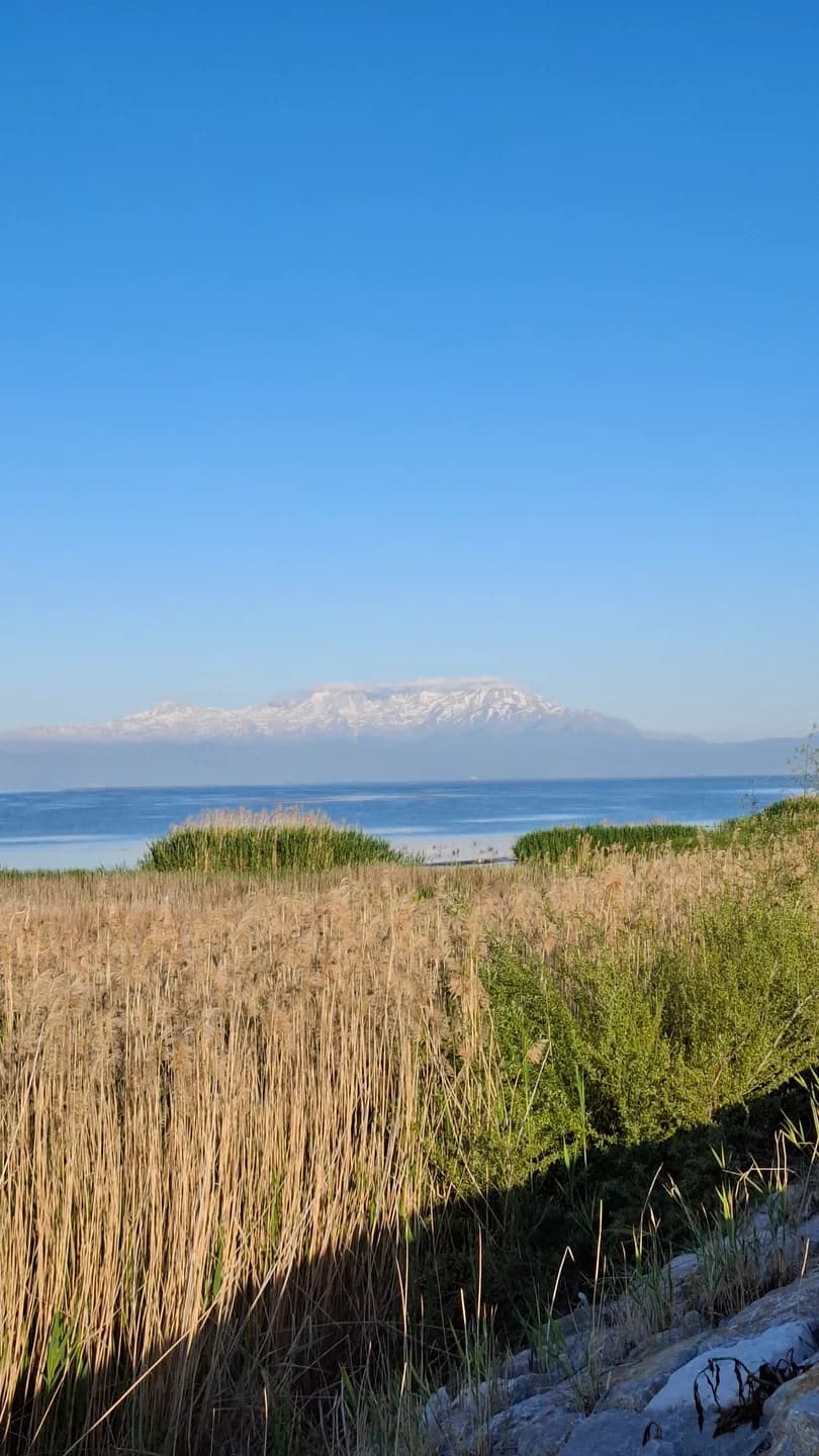
A closer look
Karaburun is one of the shore destinations named in Beyşehir's municipal guide. It introduces a different way of spending time beside the lake from the town-centre promenade. Begin with the meeting of land and water: the shape of the edge, the direction of the open view and the use of the ground around it.
A beach destination can be read as landscape before an activity is chosen. Look at what lies immediately behind the shore as well as ahead across the lake. Vegetation, tracks and neighbouring uses give the place a setting that disappears when a photograph includes only water and sky.
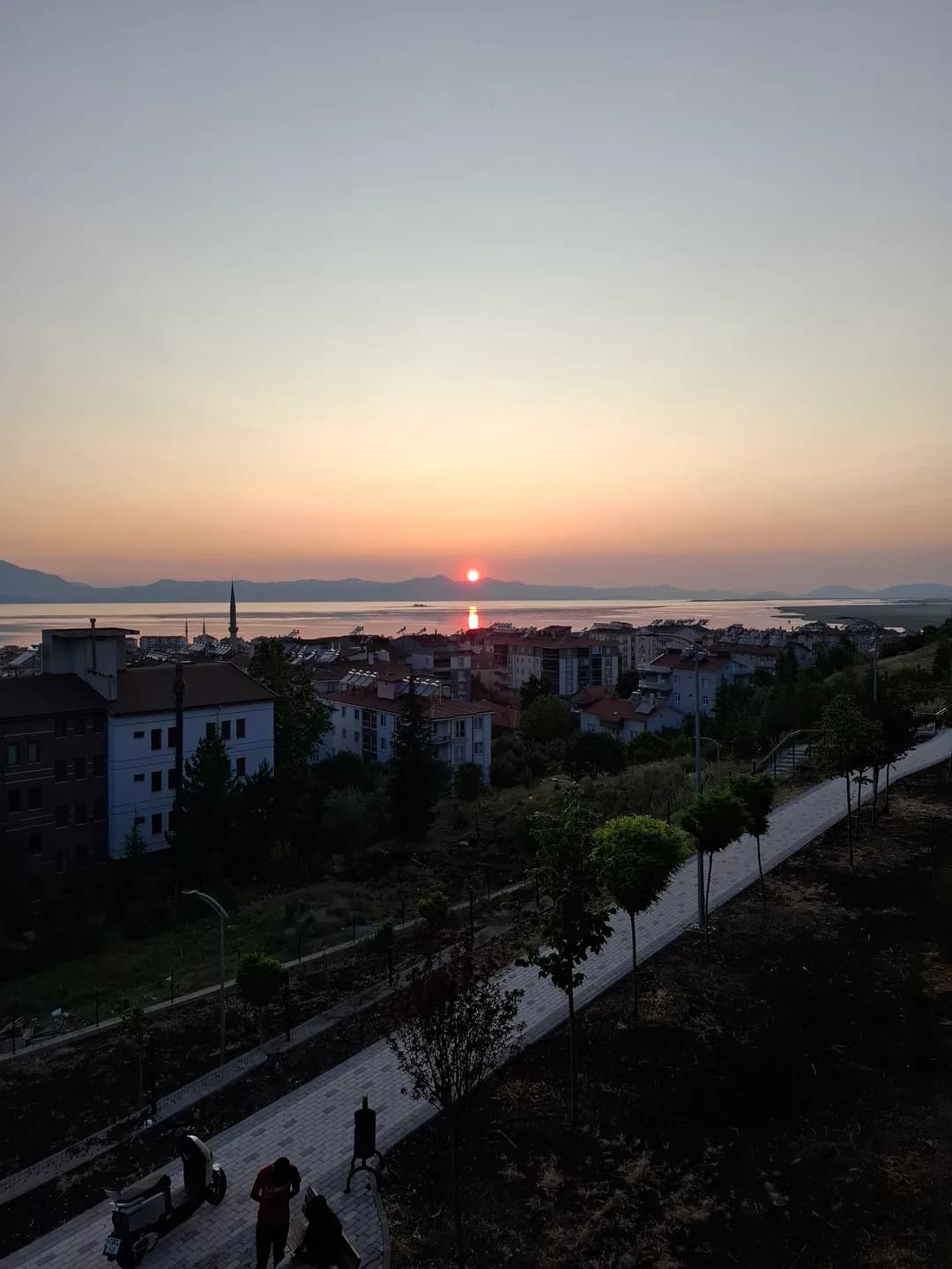
Details and connections
The municipality introduces Karaburun as a shore destination. Plan the day around the public approach, current facilities and activities you want to enjoy. Ask the responsible authority about swimming conditions, camping permission and seasonal services. A clear plan lets you spend time beside the water, choosing a stopping place that suits your group and the weather.
For a relaxed visit, choose a clear start and return point and leave time for an unhurried pause. A short walk and a period of sitting can be a complete outing. Adjust the plan to the wind, light and condition of the path rather than trying to reproduce someone else's photograph.
Reading the wider setting
Photography here can connect small details with the wider basin. Try a view that includes the shoreline texture in the foreground, then another that gives the distant skyline more space. Note where you stood. The pair will explain the place more clearly than several nearly identical horizon shots.
If you bring food, choose a permitted stopping place and keep the shoreline clear afterwards. Respect nearby working land, avoid disturbing vegetation and give wildlife space. A public approach does not make every adjoining patch of ground available for a picnic or a shortcut.
Continue your visit
Lake life connects this visit with the varied edges of the basin. Photography and birdwatching introduces other ways of looking, while Water and city offers the more built setting around the regulator. Each is a separate encounter with the same lake rather than a substitute for the others.
Use the atlas to understand those relationships and the route pages to check the limits of each proposed outing. A satisfying shoreline day can be modest in distance but rich in observation, with enough time to notice how the water changes and how this particular edge differs from the one seen from town.