
A closer look
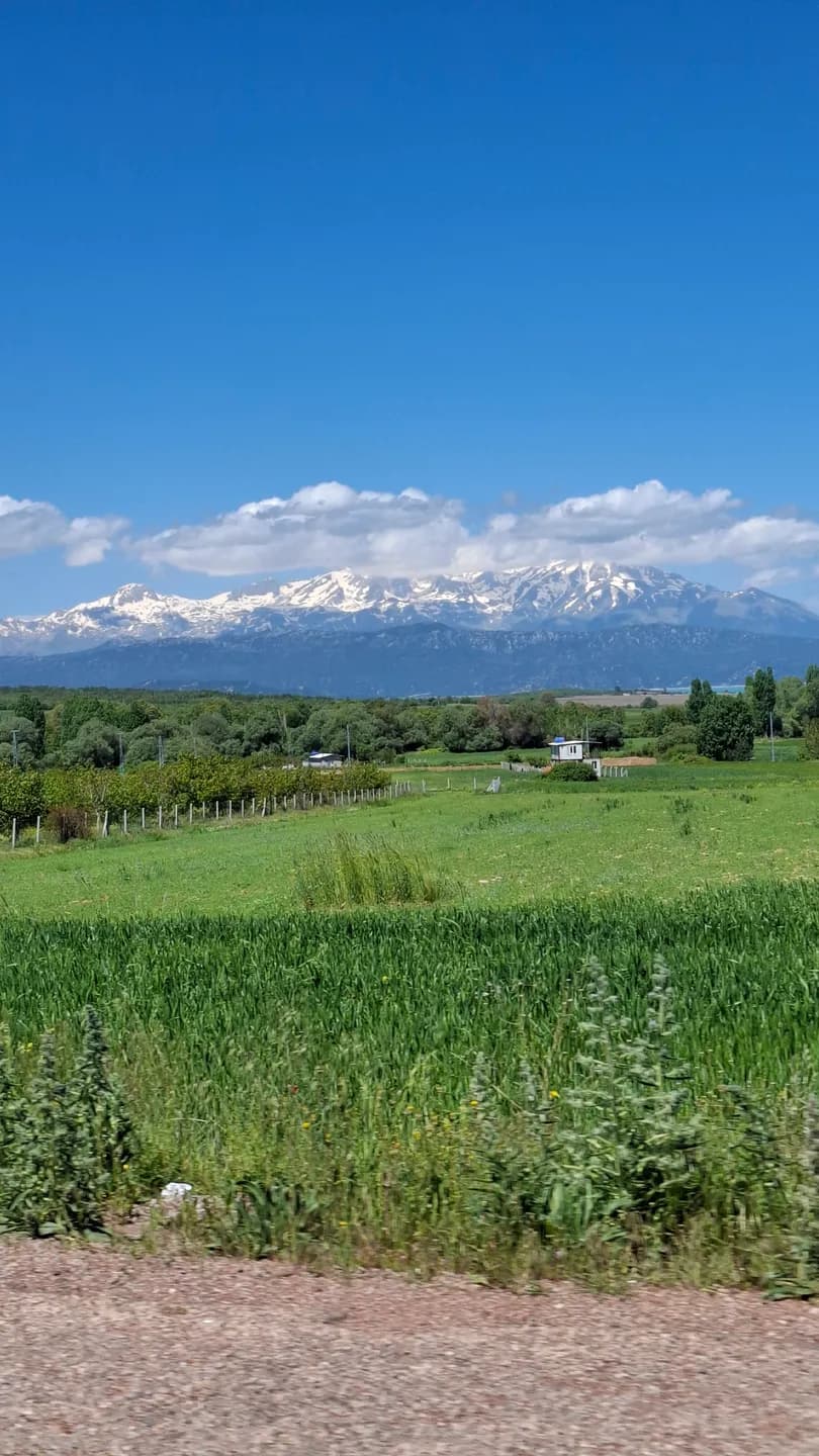
From the lake, the Anamas mountains form a distant edge; travelling towards them changes that line into a landscape of slopes, valleys and much larger differences in height. The municipal guide places Anamas within the Taurus system. Read the mountains as their own environment, even when they have already appeared in almost every lakeside photograph.
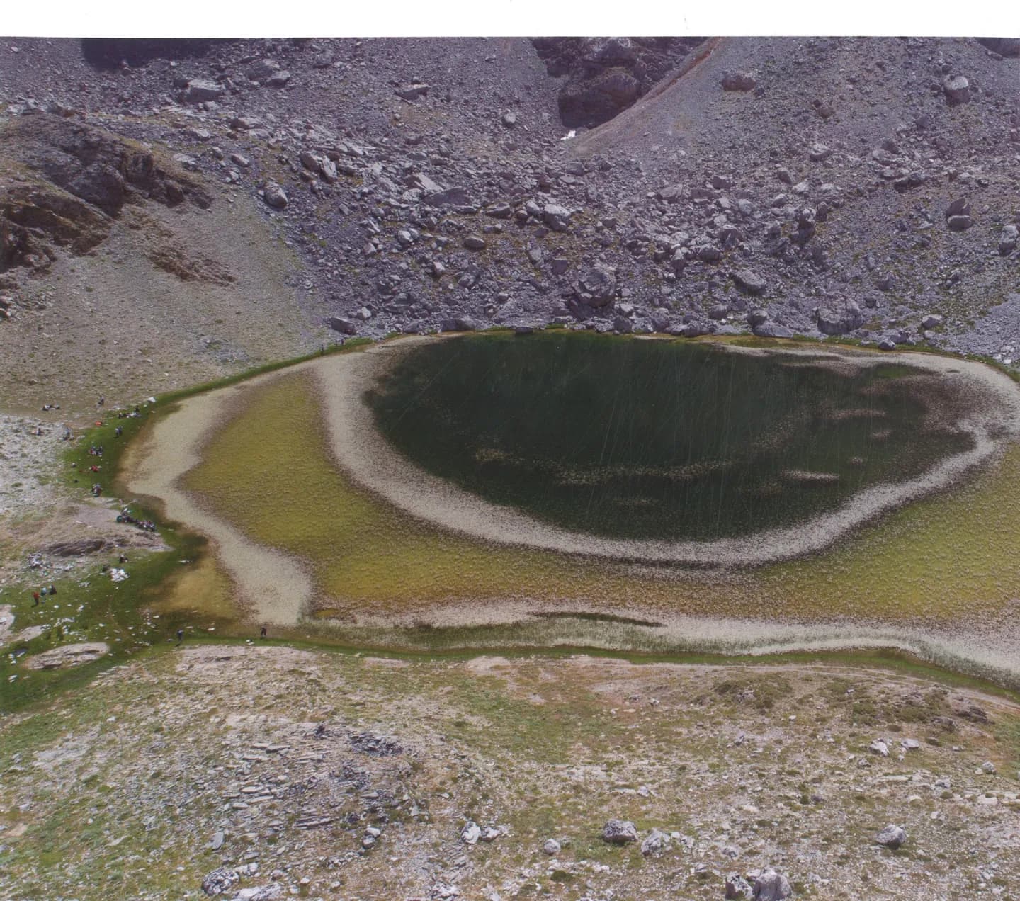
Dedegöl and Karagöl are part of this wider mountain geography. The municipality introduces Karagöl in the high country around Dedegöl. A mountain lake and a summit are distinct objectives. Choose the experience that suits your group, then arrange its approach, trailhead and return with a local specialist.
Details and connections
The contrast with Beyşehir's waterfront is a useful starting point. At the shore, distance is often read across water; in the mountains, slope and changes in level shape the journey. A place that appears close in a flat map may involve terrain that changes the time, effort and preparation needed to reach it.
Use the photographs to understand the landscape at different scales. A broad mountain view shows the setting; a specifically identified Karagöl image introduces the water landscape within it. Use the captions to connect each photograph with its named place. Compare the ridge, slopes and water to build a picture of the wider mountain setting.
Reading the wider setting
Before choosing an outing, decide whether you want a viewpoint approached by road, a short permitted walk or a mountain objective requiring specialist planning. Discuss the actual start, route, current conditions and return arrangements with someone who knows the terrain. The choice of objective should come before a distance target.
Season, exposure and weather can change a mountain day substantially. Carry suitable equipment for the plan that has actually been checked, and agree in advance when to turn back. Get a current route assessment and navigation plan from your local guide before committing to the day’s objective.
Continue your visit
İslibucak forest offers a different kind of outing in the wooded regional landscape. Subterranean rivers explores how water shapes the cave country, while Lake life returns to the broad basin below. Read them together to understand how varied the region is without treating forest, cave and alpine activities as interchangeable.
Back at the waterfront, look again at the skyline. Even a journey limited to an accessible viewpoint can make that distant line more meaningful. The mountains stop being a decorative background and become a set of places with their own terrain, named destinations and separate stories.