
Reference overview
Bada Alman Köprüsü
GoKonya · GoKonya
Read the place guides and stories that draw on this source.
Read with your device’s voice.
Historic Bada (German) Bridge
A multi-arched bridge on the historic caravan road, renovated in the early 20th century during the Konya irrigation scheme.
Bada Bridge belongs to a countryside journey, separate from the familiar waterfront crossing in central Beyşehir. GoKonya approaches it via the road towards Seydişehir and the turn towards Fasıllar. This geographical distinction matters: a picture or measurement of Taş Köprü cannot be transferred to Bada because both are historic stone bridges.
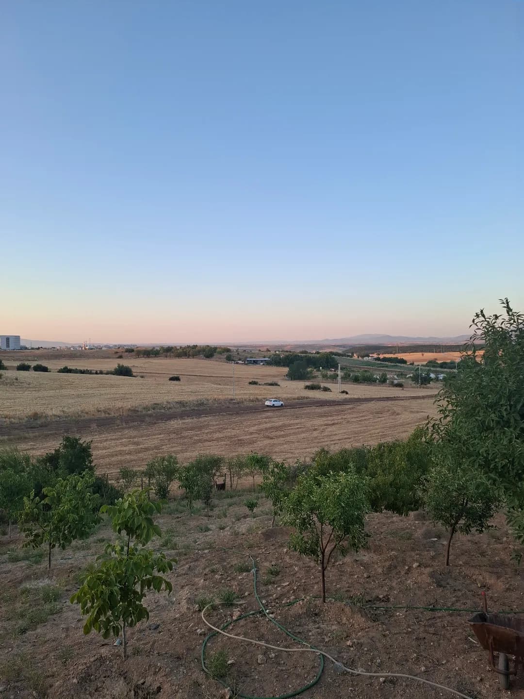
The name Alman Köprüsü, German Bridge, reflects its description in local tourism writing. GoKonya identifies the place on the countryside approach towards Fasıllar. Read that setting through the road, the channel and the fields beside the crossing. Start with a wider view before looking at individual stones: the approaches explain how the bridge belongs to the surrounding landscape.
Muşmal’s detailed study concerns the town-centre regulator and the early twentieth-century irrigation works. It provides wider context for regional water infrastructure, not a substitute engineering record for Bada. Together, the two crossings suggest how roads and water management shaped journeys around Beyşehir. The urban regulator and the rural bridge each belong to that wider landscape, with their own construction history.
From an authorised public position, consider the crossing in relation to channel, fields and approach roads. Record the place name and viewpoint with your photographs, then compare a broad landscape view with a closer look at the masonry. Ask locally about access and follow the public approach. The countryside setting gives this stop its own character within a wider journey around Beyşehir.
A rural crossing can be read through its approaches. Look at where a road or track meets the structure, how the channel occupies the ground and how the surrounding fields shape the view. These relationships give the bridge a local setting even when a detailed construction history is not yet available.
Take a view that includes both bank and crossing before concentrating on stonework. An isolated arch could be difficult to identify later, especially after visiting the town-centre bridge on the same trip. A short caption with the place name and viewpoint keeps the photographs useful.
Compare the experience with Taş Köprü without making the buildings identical. One encounter belongs to an urban waterfront and the regulator story; the other introduces the countryside and its approaches. The change of setting is itself worth recording, alongside whatever architectural details can be seen from permitted ground.
Artisans of Huğlu and Üzümlü offers another account of the working region beyond the lakefront, while Reading stone leads towards the archaeological landscape. Use these thematic links to choose separate visits, checking the real travel arrangements rather than assuming that related stories form one continuous walking route.
Historic Bada Bridge & Irrigation Channels
A 14th-century caravan crossing expanded during the 1910 Konya Plain Irrigation project.
Bada Bridge belongs to a countryside journey, separate from the familiar waterfront crossing in central Beyşehir. GoKonya approaches it via the road towards Seydişehir and the turn towards Fasıllar. This geographical distinction matters: a picture or measurement of Taş Köprü cannot be transferred to Bada because both are historic stone bridges.
The name Alman Köprüsü, German Bridge, reflects its description in local tourism writing. GoKonya identifies the place on the countryside approach towards Fasıllar. Read that setting through the road, the channel and the fields beside the crossing. Start with a wider view before looking at individual stones: the approaches explain how the bridge belongs to the surrounding landscape.
Muşmal’s detailed study concerns the town-centre regulator and the early twentieth-century irrigation works. It provides wider context for regional water infrastructure, not a substitute engineering record for Bada. Together, the two crossings suggest how roads and water management shaped journeys around Beyşehir. The urban regulator and the rural bridge each belong to that wider landscape, with their own construction history.
From an authorised public position, consider the crossing in relation to channel, fields and approach roads. Record the place name and viewpoint with your photographs, then compare a broad landscape view with a closer look at the masonry. Ask locally about access and follow the public approach. The countryside setting gives this stop its own character within a wider journey around Beyşehir.
A rural crossing can be read through its approaches. Look at where a road or track meets the structure, how the channel occupies the ground and how the surrounding fields shape the view. These relationships give the bridge a local setting even when a detailed construction history is not yet available.
Take a view that includes both bank and crossing before concentrating on stonework. An isolated arch could be difficult to identify later, especially after visiting the town-centre bridge on the same trip. A short caption with the place name and viewpoint keeps the photographs useful.
Compare the experience with Taş Köprü without making the buildings identical. One encounter belongs to an urban waterfront and the regulator story; the other introduces the countryside and its approaches. The change of setting is itself worth recording, alongside whatever architectural details can be seen from permitted ground.
Artisans of Huğlu and Üzümlü offers another account of the working region beyond the lakefront, while Reading stone leads towards the archaeological landscape. Use these thematic links to choose separate visits, checking the real travel arrangements rather than assuming that related stories form one continuous walking route.
Related places